
Walking West Linn, Oregon: Our 10 Most Popular Route Maps
Our top 10 West Linn, Oregon online walking maps, with turn-by-turn route directions.
Our top 10 West Linn, Oregon online walking maps, with turn-by-turn route directions.
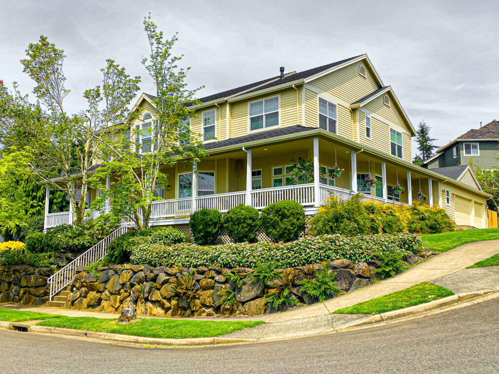
As part of our Walking West Linn series, we offer you this diverse, 2.5-mile, moderately challenging West Linn loop walk that begins and ends on the northern border of the Parker Crest neighborhood–Rosemont Road near Oppenlander Field.
As part of our Walking West Linn series, this moderately challenging (rolling hills, varied walk surfaces), 3.5-mile LOOP walk traverses two stunning West Linn neighborhoods–Parker Crest & Rosemont.

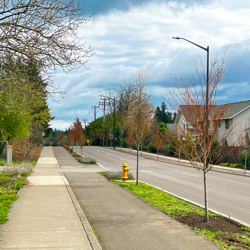
This challenging 6-7 mile Walking West Linn route starts high in the hills of West Linn and weaves its way down to the Willamette River valley below, with three optional side routes to explore (Bernert Boat Landing Loop, Tualatin Bluff Neighborhood, and/or Willamette Park).