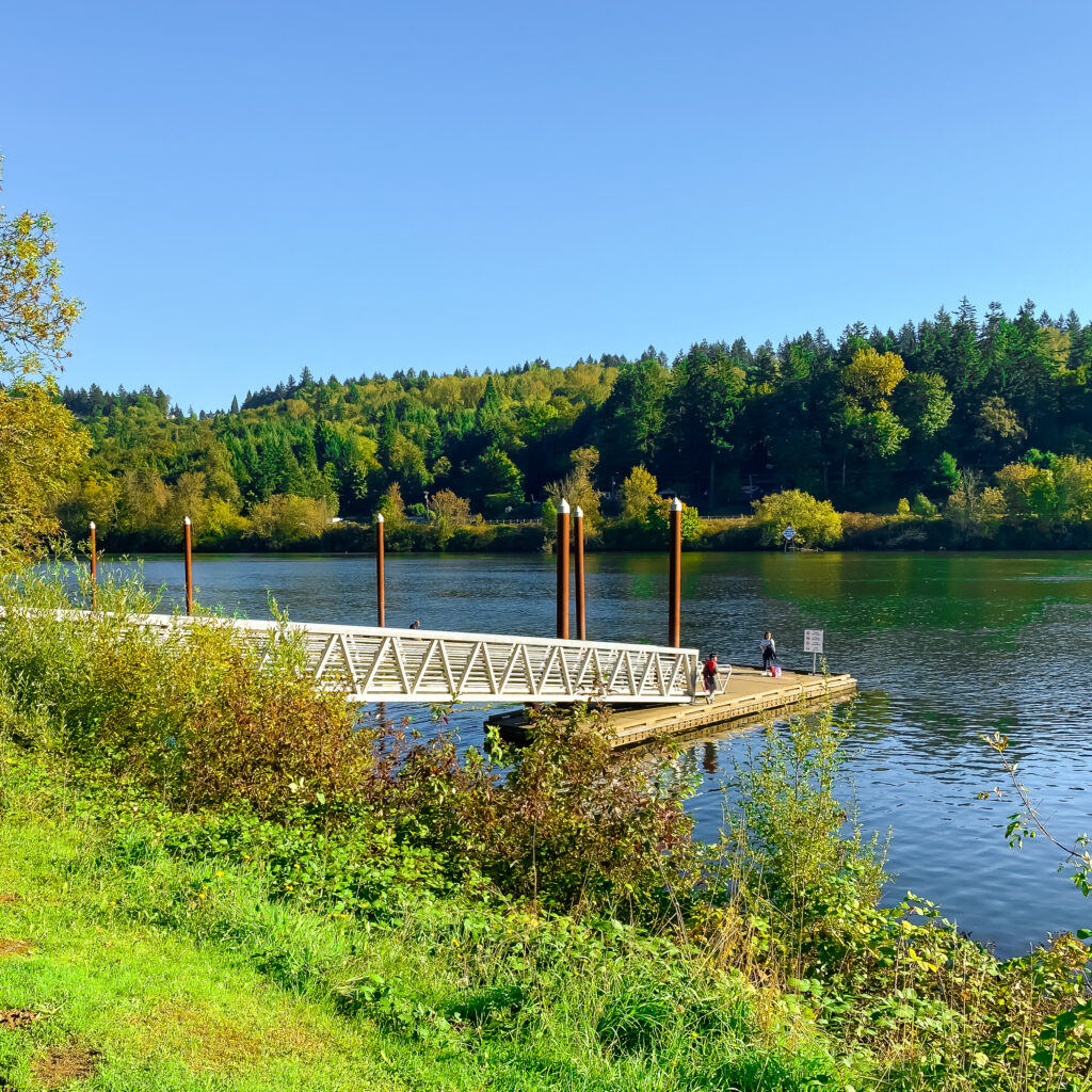
Welcome to West Linn, Oregon. There’s a lot to love about this beautiful city–just 15 miles south of Portland, on the west side of the Willamette River. The historic downtown, vibrant arts and culture scene, extensive trails, plentiful parks, and friendly, engaged residents all add up to a unique and vibrant community. And perhaps best of all, it’s walkable.

The city with it’s 27,000 residents is located in Clackamas County, which provides access to beautiful natural surroundings and plentiful outdoor recreational activities. As recent residents of this beautiful city, exploring West Linn has become a daily regimen for us. To keep these daily jaunts engaging we’ve developed dozens of interesting walk routes all around the city. And we continue to discover new walks each month. Check back as we add to the following list.

Our 10 Most Popular, Custom Curated West Linn Walk Maps
Over the coming months we’ll add blog posts with plentiful photos for the most popular of these route maps. Blue, underlined titles below are links to articles currently available.
- Walking West Linn: Willamette River, Bolton, Hammerle Park, Burnside Park, Maddax Woods, Mclean House MAP | 3+ MILES | 8,533 VIEWS
- Walking West Linn: Oldtown Willamette, Fields Bridge Park & Tualatin River MAP | 3.5 MILES | 7235 VIEWS
- Walking West Linn: Parker Crest, Rosemont Summit, Sahallie Illahee Park Romp MAP | 4.5 MILES | 6,937 VIEWS
- Walking West Linn: Old Town Willamette, Parker Crest, Tanner Basin, Historic Willamette, Willamette Park, White Oak Savanna Loop MAP | 6-7 MILES | 5,649 VIEWS
- Walking West Linn: Tanner Ridge to Luscher Farm & Lake Oswego MAP ( 7 miles | 5,247 VIEWS
- Walking West Linn: Rosemont Summit To Oregon City MAP | 2.5 MILES | 3,859 VIEWS
- Walking West Linn: Parker Crest, Rosemont, Sahallie Illahee Park MAP | 2 MILES | 2,236 VIEWS
- Walking West Linn: Rosemont Hill Romp MAP | 2-3 MILES | 1,962 VIEWS
- Walking West Linn: Rosemont Hill Romp Three Ways MAP | 2-3 MILES | 1,961 VIEWS
- Walking West Linn: Historic Willamette Home Tour Double Route MAP | ? MILES | 1812 VIEWS
And There’s More
West Linn Neighborhood Guide
https://www.skyblueportland.com/west-linn-neighborhood-guide/
- Walking West Linn: Hidden Springs, Rosemont, Parker Crest Loop MAP | 4 MILES | 1,526 VIEWS
- Walking West Linn: Parker Crest Jaunt MAP | 2.5 MILES | 1,253 VIEWS
- Walking West Linn: Map of Maps MAP | 1,250 VIEWS
- Walking West Linn: Tanner Basin West MAP | 2 MILES | 886 VIEWS
- Walking West Linn: Parker Crest, Rosemont Summit, Sahallie Illahee Park Romp, In Reverse MAP | 5 MILES | 627 VIEWS
- Walking West Linn: Parker Crest, Tanner Basin, Bland Circle MAP | 3 MILES | 558 VIEWS
- Walking West Linn: White Oak Savanna Loop MAP | 6-7 MILES | 449 VIEWS
- Walking West Linn: Rosemont Summit, Salamo Drive, Historic Willamette MAP | 394 VIEWS
- Walking West Linn: Parker Crest, Tanner Creek, Rosemont Loop MAP | 3.5 MILES | 381 VIEWS
- Walking West Linn: Rosemont Summit, Tanner Creek, Salamo Loop MAP | 2.5 MILES | 291 VIEWS
- Walking West Linn: Historic Bolton & Sunset Homes MAP | MILES | 19 VIEWS
- Walking West Linn: Tanner Basin East MAP | 2.5 MILES | 14 VIEWS
- Walking West Linn: Rosemont Loop MAP | 2.5 MILES | 9 VIEWS
- Walking West Linn: Historic Willamette Home Tour MAP | 4 MILES | 7 VIEWS
- Walking West Linn: Parker Crest Loop MAP | 2.5 MILES | 7 VIEWS
- Walking West Linn: Hidden Springs Loop MAP | 3 MILES | 6 VIEWS
- Walking West Linn: Rosemont Summit, Parker Crest Loop MAP | 2.5 MILES | 5 VIEWS