Are you looking for well-tested, online route maps for walking Lake Oswego, Oregon? With turn-by-turn directions? To follow from your iPhone while walking? So were we!
And now we’re walking Lake Oswego, each week, as we explore its 27 uniquely fabulous neighborhoods. And creating reliable route maps as we walk. (Which requires walking each route multiple times and fine-tuning for best walk experience for you.)
Compared to the kinetic energy of nearby Portland–with it’s 95+ closely joined, easily accessible, commerce rich neighborhoods–Lake Oswego offers a tranquil country vibe –with one gorgeous lake, miles of Willamette Riverfront, dozens of beautifully planned, kid-centric parks, and rolling hills and views for miles.

Lake Oswego’s 27 distinct neighborhoods provide dozens of potential walk routes, including sidewalk, wide shoulder, trail, and combo walks.
Unlike Big City walks (with streetcar and bus lines galore), taking full advantage of a wide variety of Country walks (Loop, Point to Point or Out & Back) requires either a car or a designated pickup buddy.
Our route maps include mileage, degree of difficulty, and route type (Loop, Point to Point, or Out & Back). So you can plan accordingly.
Another difference between city and country walks is a notable absence of both restroom facilities and coffee shops, two requirements for our city walk routes. To the best of our ability we rework a route to include both of these amenities. But if not possible, their absence is noted on the map.
Walking Lake Oswego Route Maps
Each of our route maps is tested on foot at least twice by one reasonably fit woman walking alone (me!) And sometimes it takes several test walks to create a walk that meets all of our goals.
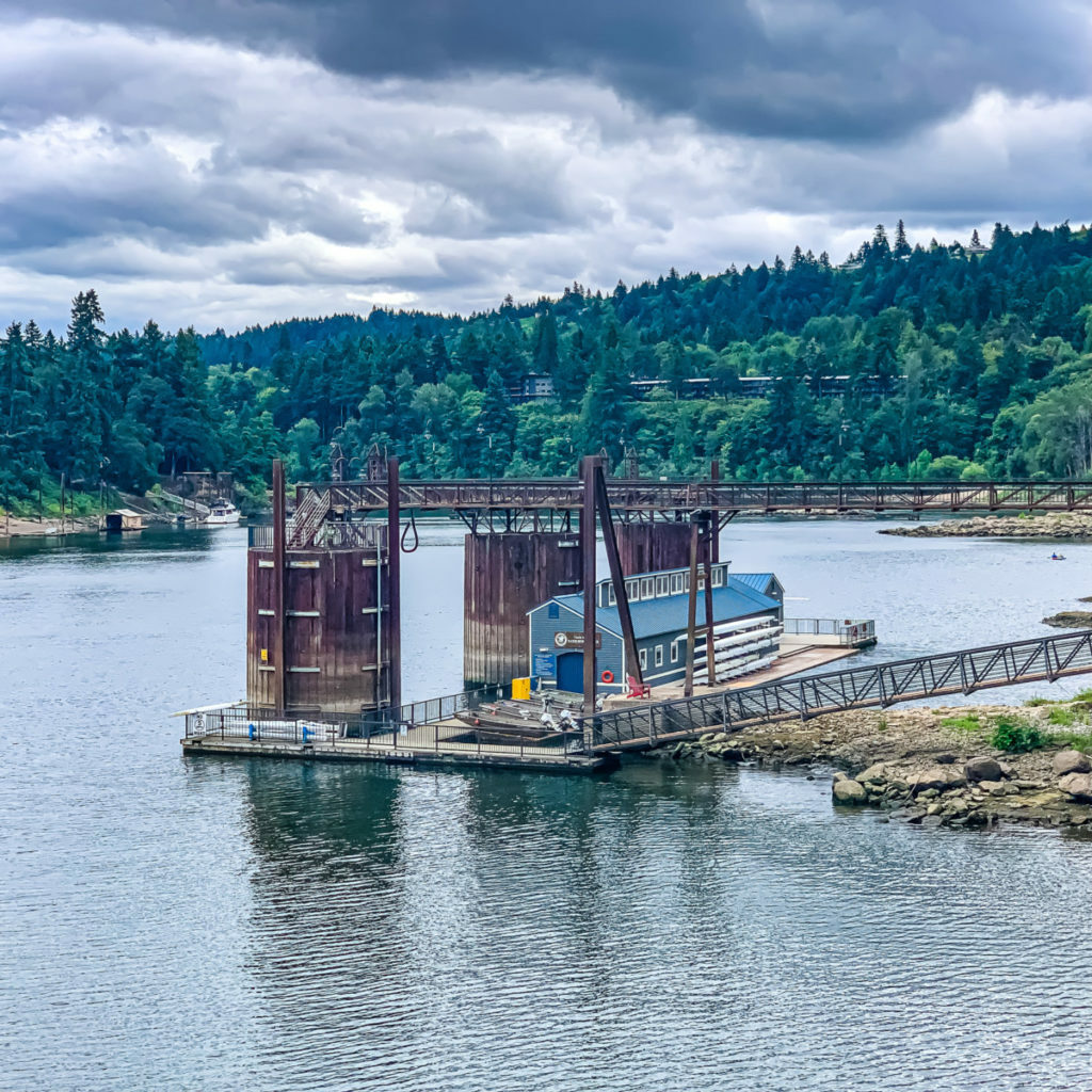
Namely, the walk must be FUN. It must be INTERESTING. It must be DIVERSE (composed of distinct or unlike elements). It must be VISUALLY ENGAGING. It must be INVIGORATING (3+ miles). And it must feel reasonably SAFE for a solitary, moderately fit walker (unless otherwise noted on the online map). Safety encompasses both the physical environment (walk surfaces, trail maintenance, traffic) and the human environment (wholesome street life).
This is how these route maps began and this is their reason for being. To encourage everyone, especially new walkers, to add daily walking to their lives. (To join us on this continuing adventure, check out PDX Women Who Walk.)
NOTE One difference with country walks is the regrettable absence of plentiful RESTROOM FACILITIES and COFFEE SHOPS along the route–two requirements for our city walks. To the best of our ability, we rework country routes to include both of these amenities. But if not possible, the lack thereof is noted on the map.
Tracking Your Walk
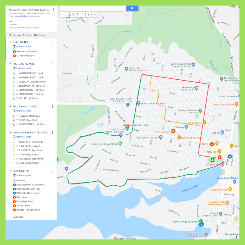
Our route maps are designed so you can both follow the route and keep track of where you are on the route from your phone while walking. To do this, from your computer, bookmark the desired route and then open that link from your phone while walking. To be certain you have the link (recommended!), make sure you have your desired map open on your phone BEFORE you leave home.
To begin your walk, open the Legend field on the map to get turn-by-turn directions, plus pointers to key amenities (parks, gardens, sites, coffee, eats, shops) along the route. If Google Maps is tracking properly (occasionally, in some areas, it glitches) you’ll see a small blue ball that represents YOU on the map. That’s especially helpful in keeping track of where you actually are on the route.
Walking Lake Oswego Route Maps
From our growing collection of Lake Oswego walking route maps, these 10 routes currently rank highest in Google Map views. They’re definitely winners.
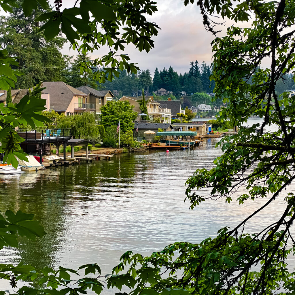
1. Walking Lake Oswego: Oldtown, Lakewood, Foothills, George Rogers Park, Roehr Park, Foothills Park
6 miles | Moderate | Loop | Map
This view-rich Loop walk will be even better when the city finally connects the river trails between George Rogers Park and Foothills Park. Today you must depart the George Rogers Trail, walk through a parking lot and then the Oswego Point Apartment complex to reconnect a few blocks north to the Foothills Park Trail. On the plus side, this is an opportunity to see Lake Oswego’s Oldtown neighborhood.
2. Walking Lake Oswego: First Addition, South Tryon Creek Trail
3.5 miles | Easy | Loop | Map
This 3.5 mile, downtown Evergreen neighborhood combined with idyllic First Addition neighborhood and optional deep woods trail and/or Lakewood Bay Loop route offers the best of four distinct worlds. The Tryon Creek Trail extension adds 2 miles. The Lakewood Bay option adds 1/2 mile.
3. Walking Lake Oswego: Luscher Farm, Stevens Meadows, Cook’s Butte
3-5 miles | Moderate | Out & Back | Map
This beautiful rolling hills Out & Back walk kicks off at the small parking lot on the Stafford Rosemont Trail and proceeds along the trail to the play fields and dog park to the west. Two route extensions (Stevens Meadows and Cook’s Butte Park) add variety, difficulty, and distance to the main walk. You can take this route in reverse too, parking at the dog field.
4. Walking Lake Oswego: Stevens Meadows, Westridge, Hazelia Field & Luscher Farm Trail
5.5 miles | Moderate | Loop | Map
This 5.5 mile varied terrain Loop includes several very different landscapes, from high hills, to grassy meadows, to gorgeous neighborhood, to iconic park system, to grassy fields with myriad mowed paths, to paved Rosemont Trail, to Luscher Farm. It’s a lot to take in and you’ll want to walk it again and again. Take a camera! 🙂
5. Walking Lake Oswego: Evergreen, Lakewood Bay, Northshore-Country Club, First Addition
3+ miles | Easy | Loop | Map
This 3-mile, mostly paved surface Loop walk begins and ends in beautiful Millennium Plaza Park, with plentiful coffee and eats options before and after the walk. You’ll skirt the north banks of Lakewood Bay and Oswego Lake before heading north to Oswego Lake Country Club and Lake Oswego’s oldest neighborhood, First Addition. There’s an optional detour on the way back for a closer look at the lovely homes that grace this neighborhood.
6. Walking Lake Oswego: Luscher Farm, Oswego Lake Loop
8+ miles | Challenging | Loop | Map
This 8+ mile, ten neighborhood (Westridge, Palisades, Blue Heron, Lake Grove, Lakeview Summit, Evergreen, Lakewood, Mcvey-South Shore, Hallinan, Johns Landing), challenging (rolling hills), scenic Loop route climbs from Luscher Farm up to Lake Oswego’s Westridge and Palisades neighborhoods, and then meanders down along the western edge of Oswego Lake through the Blue Heron and Bryant neighborhoods. Not all streets on this route have pedestrian walkways but most have at least a wide shoulder. Caution is advised!
7. Walking Lake Oswego: Luscher Farm To Zupan’s Market
6 Miles One Way | Map
8. Walking Lake Oswego: Millennium Park, Lakewood Bay, Diamond Head, Jantzen Island, Oswego Lake
4-5 miles | Easy | Out & Back | Map
This moderate, 4-5 mile, rolling hills, Out & Back walk through Lake Oswego lakeside neighborhoods is serene and mostly shaded. Take your time viewing the architectural details of the homes, along with lake views and beautiful gardens.
9. Walking Lake Oswego: Luscher Farm, Westridge, Blue Heron, Bryant, Millennium Park Point to Point or Loop
6-12 miles | Challenging | Point to Point | Map
This challenging, 6-mile, Point to Point scenic route begins at Lusher Farm Trail, proceeds across Stafford Road, up a steep incline to Lake Oswego’s Westridge neighborhood, and then down a steep decline to the western edge of Oswego Lake, through the Blue Heron and Bryant neighborhoods.
The even more strenuous, 12-mile Loop route continues through the Lake Grove, Uplands, Evergreen, Lakewood, Country Club, and McVey-South Shore neighborhoods back to the start point at Luscher Farm Trail.
10. Walking Lake Oswego: Walking Lake Oswego: Mcvey-South Shore
3 miles | Moderate | Point to Point | Map
This gorgeous, tranquil, moderately challenging Point to Point walk in the hills high above Oswego Lake features beautiful homes, gardens, and peek-a-boo-views of the lake. Most streets have sidewalks but a few have shoulders only. Do expect some steep inclines and declines along the route.
PDX Women Who Walk. Monthly Meetup. Join Us!
Lake Oswego Neighborhood Guide
- For in-depth information on West Linn, check out SkyBlue Portland’s West Linn Neighborhood Guide.
Lake Oswego Individual Neighborhood Guides
- Barrington Heights, Tanner Woods, Hidden Creek Neighborhood Guide
- Bolton Neighborhood Guide
- Hidden Springs Neighborhood Guide
- Marylhurst Neighborhood Guide
- Parker Crest Neighborhood Guide
- Robinwood Neighborhood Guide
- Rosemont Summit Neighborhood Guide
- Savanna Oaks Neighborhood Guide
- Skyline Ridge Neighborhood Guide
- Sunset Neighborhood Guide
- Willamette Neighborhood Guide
Lake Oswego Neighborhood Maps
- West Linn Neighborhood Associations Map
- Barrington Heights-Hidden Creek-Tanner Creek (BHT) Neighborhood Map
- Bolton Neighborhood Map
- Hidden Springs Neighborhood Map
- Parker Crest Neighborhood Map
- Marylhurst Neighborhood Map
- Robinwood Neighborhood Map
- Rosemont Summit Neighborhood Map
- Savanna Oaks Neighborhood Map
- Skyline Ridge Neighborhood Map
- Sunset Neighborhood Map
- Willamette Neighborhood Map
Lake Oswego Homes for Sale
- Home for Sale in Barrington Heights-Hidden Creek-Tanner Creek (BHT)
- Homes for Sale in Bolton
- Homes for Sale in Hidden Springs
- Homes for Sale in Marylhurst
- Homes for Sale in Parker Crest
- Homes for Sale in Robinwood
- Homes for Sale in Rosemont Summit
- Homes for Sale in Savannah Oaks
- Homes for Sale in Skyline Ridge
- Homes for Sale in Sunset
- Homes for Sale in Willamette


