This challenging 6-7 mile Walking West Linn route starts high in the West Linn hills and weaves its way down through Parker Crest and Tanner Basin to the Historic Willamette neighborhood below–with three optional side routes to add variety–Willamette Park, Bernert Landing, and White Oak Savannah.
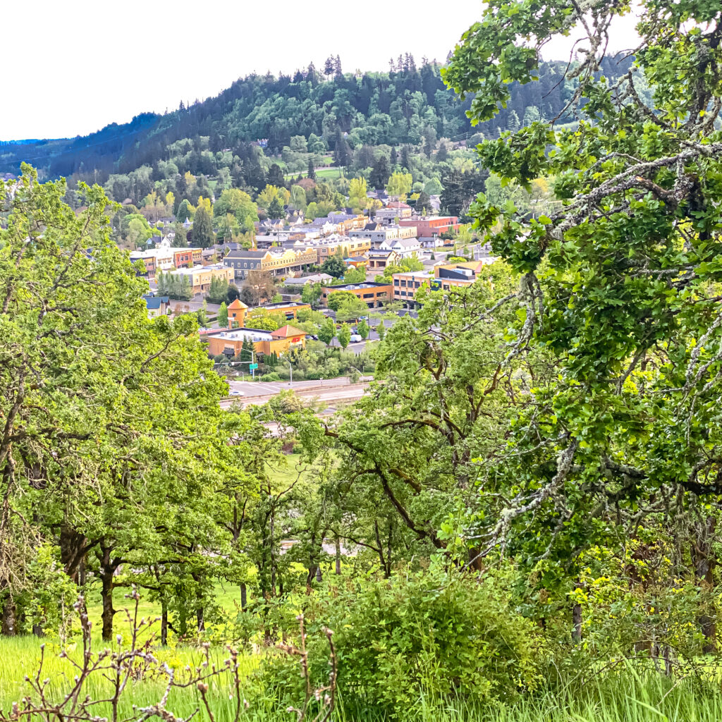
It’s a gorgeous walk, with two local coffee options at the halfway mark in Old Town Willamette–Willamette Coffee House and Lark Cafe. (Unlike our city walks, it’s not always possible to craft a country walk to include a local coffee shop, but when we can we do.)
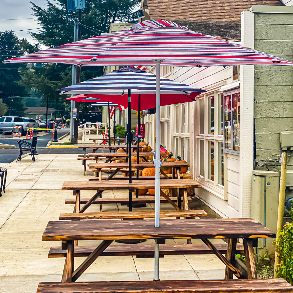
You can return along the same route (steep uphill climb) or take the optional, slightly less strenuous, return route indicated on the map.
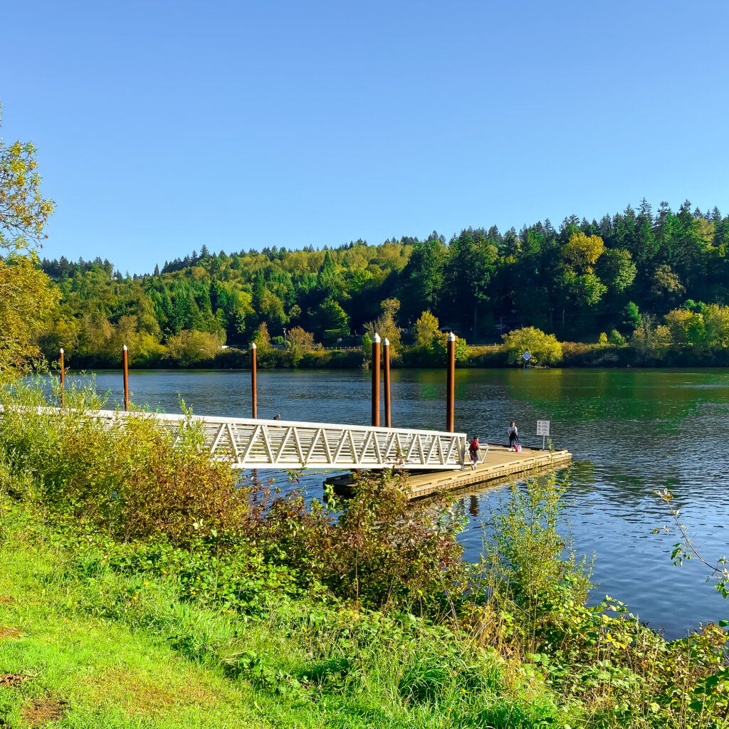
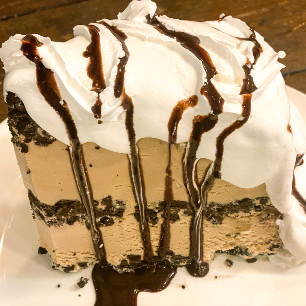
But before you head back, be sure to dive into the biggest slice of mud pie you’ll ever encounter–at Lil’ Cooperstown. It’s more than enough for two ice cream lovers. Three flavors rotate throughout the year–coffee, mint, and strawberry. We love all three.
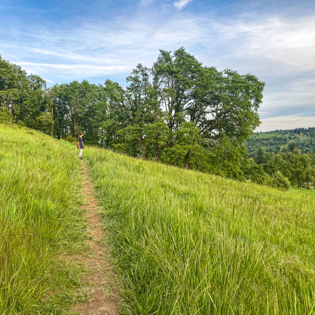
As a bonus, the optional return route includes a jaunt through lovely White Oak Savannah. Highly recommend if the grass-lined trail isn’t wet or icy. From this bluff you’ll have sweeping views of Historic Willamette and the Willamette River below. There are several park benches along the trail. Bring a book and stay awhile. And yes, definitely pack a camera.
Interactive Route Map for Your iPhone
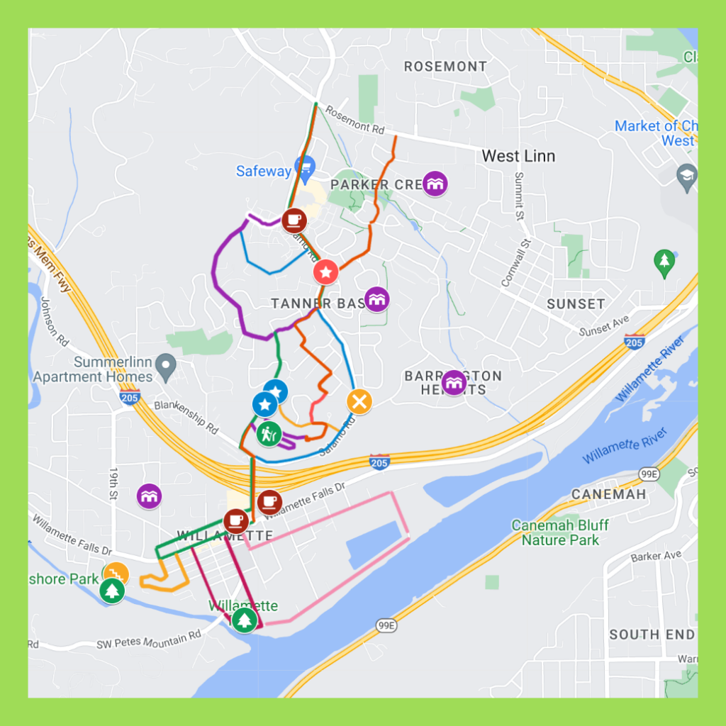
Our turn-by-turn route maps are designed so you can both follow and keep track of where you are on the route from your iPhone while walking. On your computer, save the route map to your bookmarks bar and then open that link from your iPhone. To make finding my walk maps a bit easier while out and about, I have a folder on my bookmarks bar that reads WALK MAPS.
While walking, open the Legend field on the map to get directions. If Google Maps is tracking properly (occasionally it glitches) you’ll see a small blue ball that represents YOU on the map. That’s especially helpful in keeping track of where you are on the route.
Route Map: Walking West Linn: Parker Crest, Tanner Basin, Historic Willamette, White Oak Savannah Loop
Distance
6-7 miles, plus 1-2 miles additional for one or more of optional side routes.
Time
Allow 3-4 hours to thoroughly enjoy this walk. You’ll want to gawk in Old Town and take a break (coffee, pastries, restrooms) at Lark Café or Willamette Coffee House.
Terrain
Mostly paved sidewalks, some of which are steep and/or rough. White Oak Savannah offers a mown, usually well maintained, grass trail that horizontally crisscrosses the hillside above Historic Willamette. It’s a great option in the summer months.
Difficulty
Salamo Road presents a steep grade from it’s north intersection with Bland Circle to it’s south intersection with 10th Street. Trekking down is a breeze. Trekking up is more challenging. Depending on your fitness level, you may want to enlist a friend to pick you up in Willamette, especially if temperatures are soaring. And regardless, be sure to pack plenty of water for the trek.
Coffee & Nibbles
Two top-notch, local options for coffee are indicated on the map, but we usually end up at Lark Café. You can’t miss it. It’s on the main drag–Willamette Falls Drive– in Old Town. If a hearty lunch is in the cards, we recommend Lil Cooperstown Grill. And don’t skip their Mile High Mud Pie. You’ve earned it.
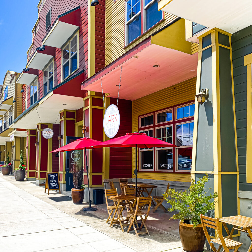
Lark Cafe in Historic Willamette. A fave neighborhood hang out. Meet the locals!
One More Option: Historic Willamette Home Tour
While you’re in Historic Willamette, treat yourself to a tour of the 70+ historic homes nearby.
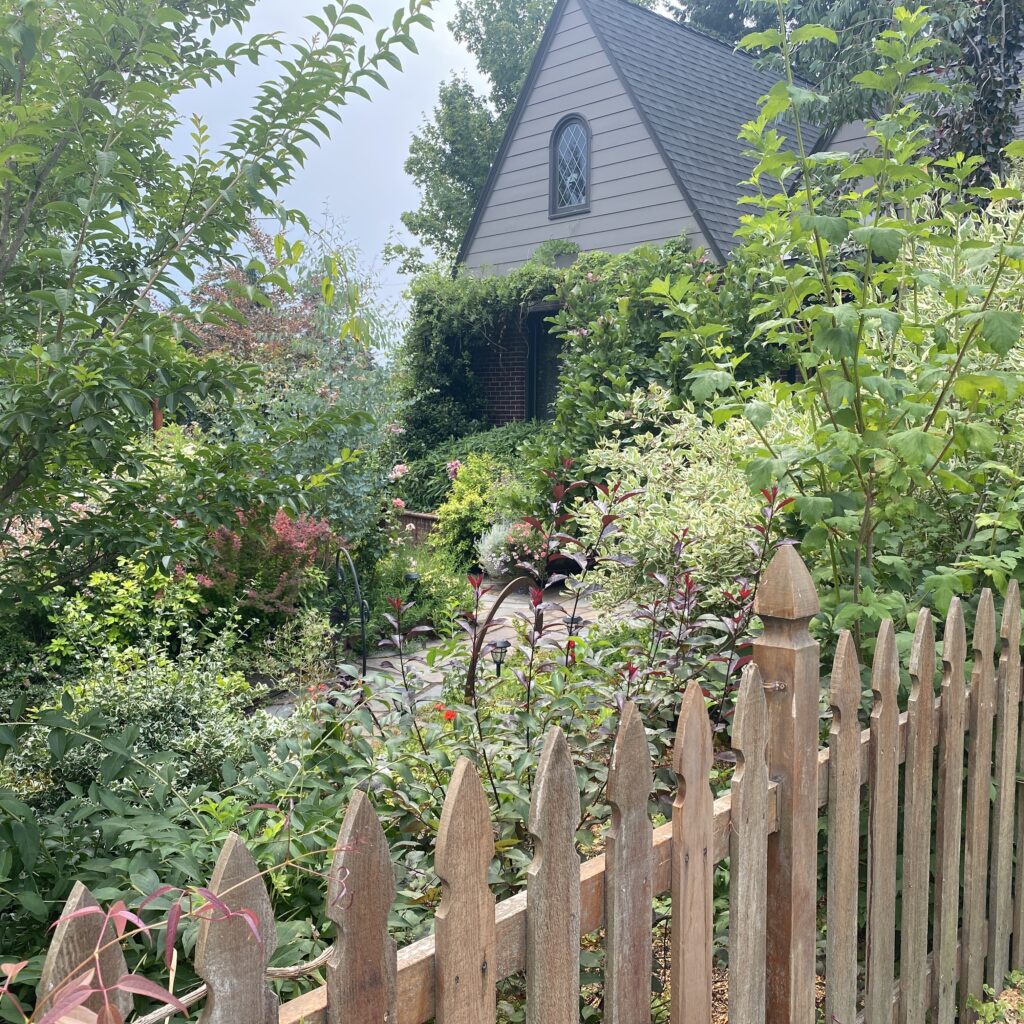
Our route map is designed as two maps in one–so you don’t have to dart back and forth across streets to see the homes on each side.
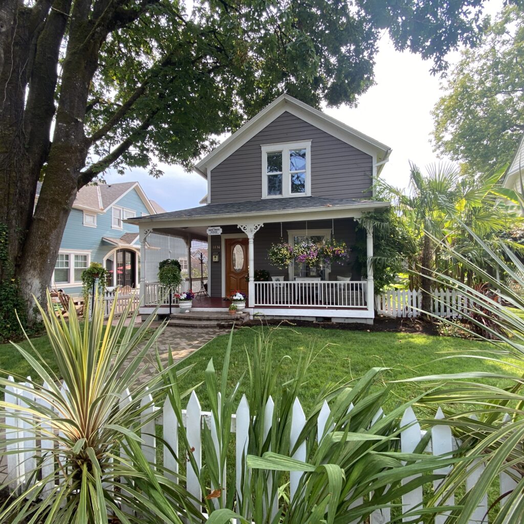
Choose which side of the street you want to explore first and UNCHECK the other route (which makes the homes on that route invisible). Then reverse the process and walk the other side of the streets. To see both sides of the streets, take the basic route TWICE for a total of about 4 miles.
Route Map: Walking West Linn: Historic Willamette Home Tour
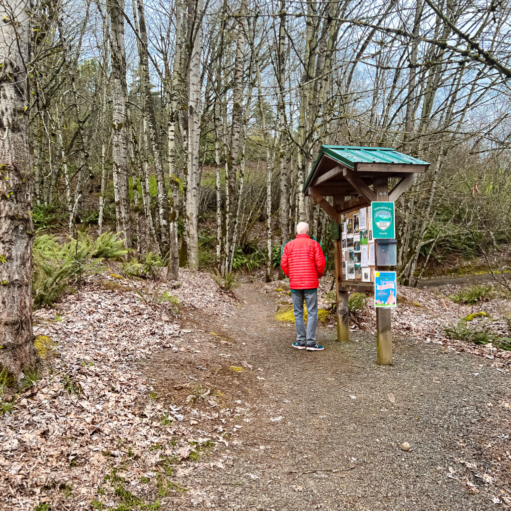
Lower White Oak Savannah trail entrance on Tannler Drive.
Portland Metro Walkabouts
The SkyBlue Portland team hosts monthly group walks through some of Portland Metro’s most beautiful and interesting neighborhoods. For info on our Portland Metro walking tours, check out our Facebook page, Women Who Walk and our meetups (PDX Women Who Walk and West Linn Women Who Walk) And join us!
West Linn Walking Maps
- Walking West Linn, Oregon: Our 10 Most Popular Route Maps (Post)
- Walking West Linn: Bolton to Oregon City (Map)
- Walking West Linn: Hidden Springs & Rosemont (Map)
- Walking West Linn: Historic District, Willamette Park Loop (Map)
- Walking West Linn: Historic District, Willamette Park, White Oak Savanna Loop (Map)
- Walking West Linn: Historic Willamette Home Tour Double Route (Map)
- Walking West Linn: Lusher Farm Trail to Lake Oswego (Map)
- Walking West Linn: Oldtown Willamette, Fields Bridge Park & Tualatin River(Map)
- Walking West Linn: Parker Crest, Historic District, Willamette Park, White Oak Savannah Loop (Map)
- Walking West Linn: Parker Crest Hill Romp (Map)
- Walking West Linn: Parker Crest, Rosemont Summit, Sahallie Illahee Park Romp (Map)
- Walking West Linn: In Reverse: Parker Crest, Rosemont Summit, Sahallie Illahee Park Romp, In Reverse (5+ miles) (Map)
- Walking West Linn: Rosemont Hill Romp Three Ways (Map)
- Walking West Linn: Rosemont Summit to Oregon City (Map)
- Walking West Linn: Tanner Ridge to Luscher Farm & Lake Oswego (Map)
- Walking West Linn: Oldtown Willamette, Fields Bridge Park & Tualatin River (Map)
- Walking West Linn: Historic Willamette Home Tour (Map)
- Walking West Linn: Willamette River, Bolton, Hammerle Park, Burnside Park, Maddax Woods, Mclean House (Map)
West Linn Neighborhood Guides
- West Linn Neighborhood Guide
- Barrington Heights, Tanner Woods, Hidden Creek Neighborhood Guide
- Bolton Neighborhood Guide
- Hidden Springs Neighborhood Guide
- Marylhurst Neighborhood Guide
- Parker Crest Neighborhood Guide
- Robinwood Neighborhood Guide
- Rosemont Summit Neighborhood Guide
- Savanna Oaks Neighborhood Guide
- Skyline Ridge Neighborhood Guide
- Sunset Neighborhood Guide
- Willamette Neighborhood Guide
West Linn Neighborhood Maps
- Neighborhood Associations Map
- Barrington Heights-Hidden Creek-Tanner Creek (BHT) Neighborhood Map
- Bolton Neighborhood Map
- Hidden Springs Neighborhood Map
- Parker Crest Neighborhood Map
- Marylhurst Neighborhood Map
- Robinwood Neighborhood Map
- Rosemont Summit Neighborhood Map
- Savanna Oaks Neighborhood Map
- Skyline Ridge Neighborhood Map
- Sunset Neighborhood Map
- Willamette Neighborhood Map


